El Torcal
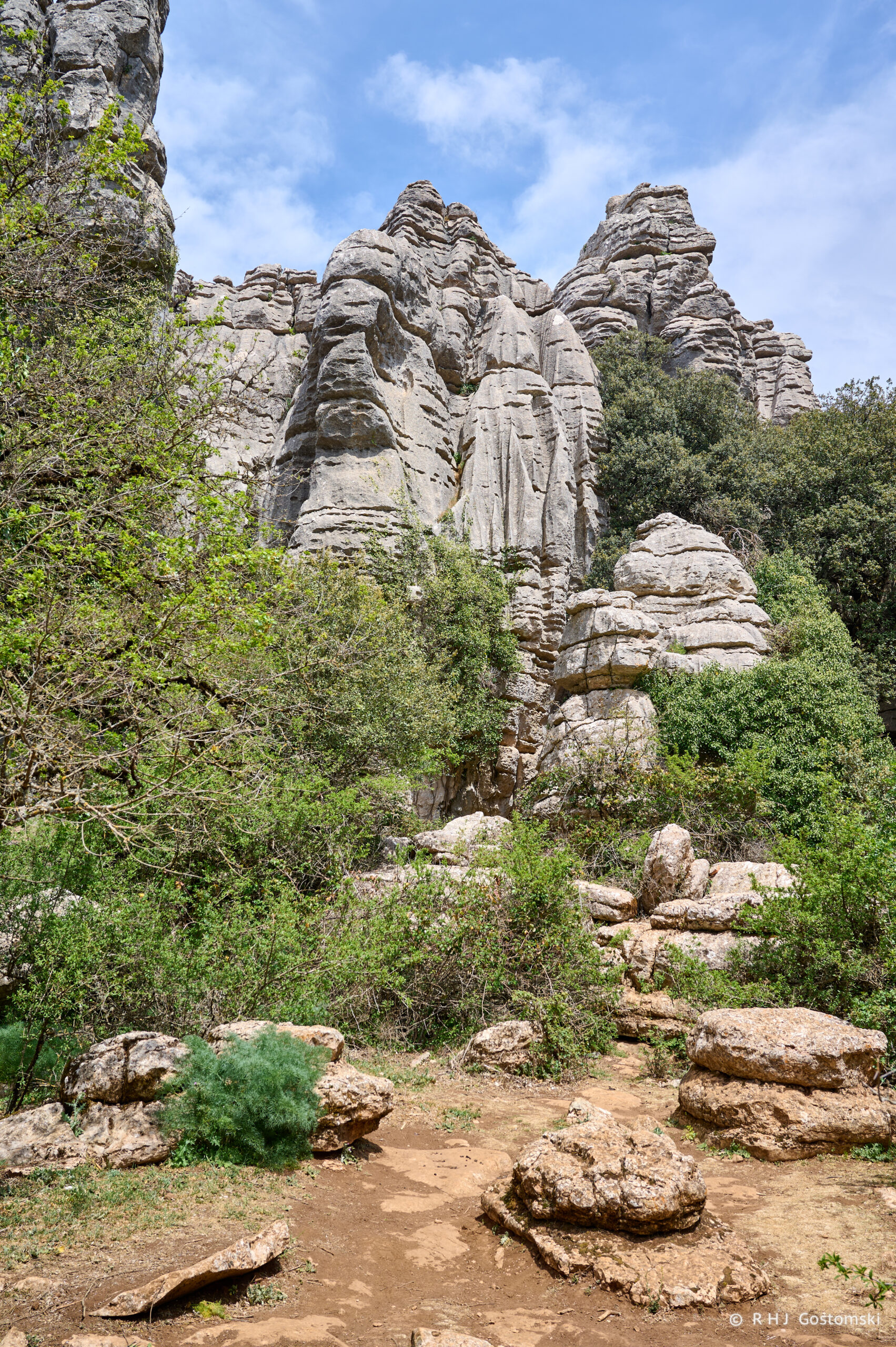
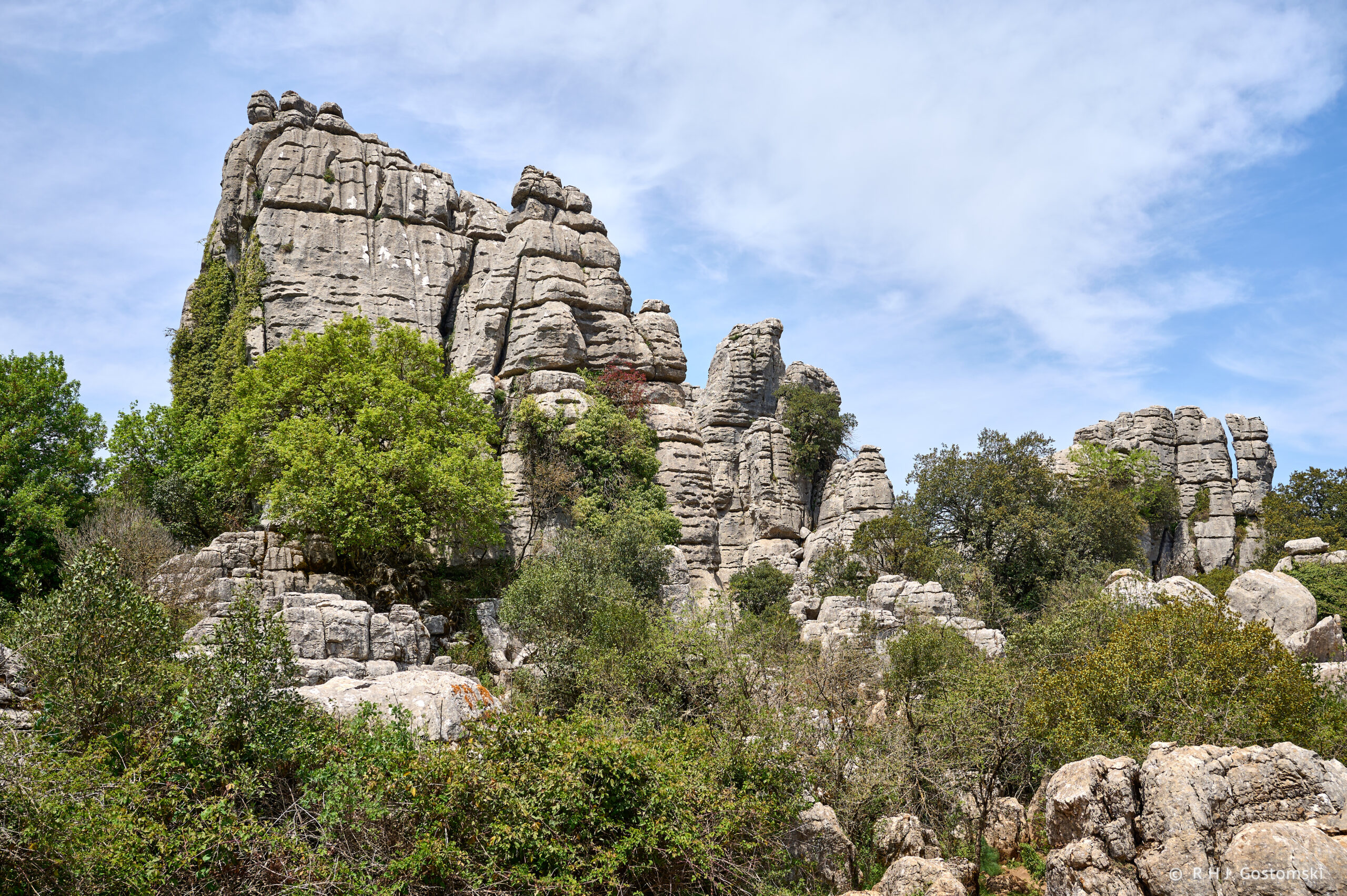
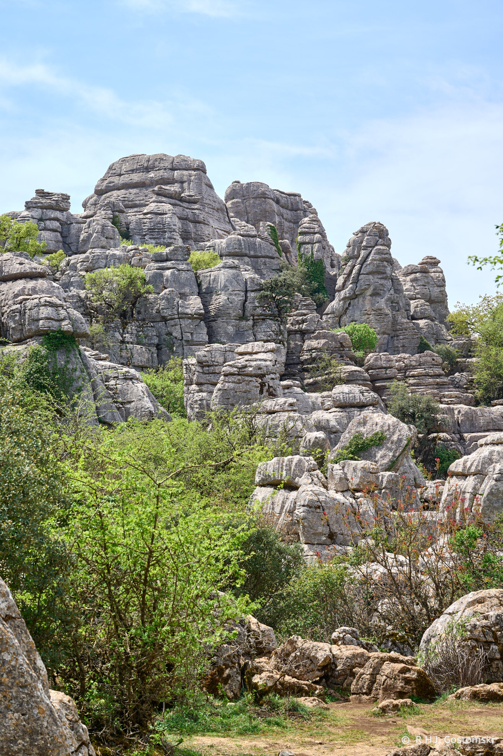
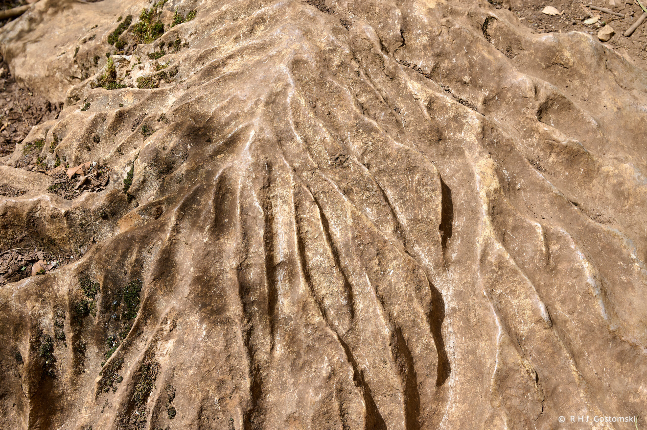
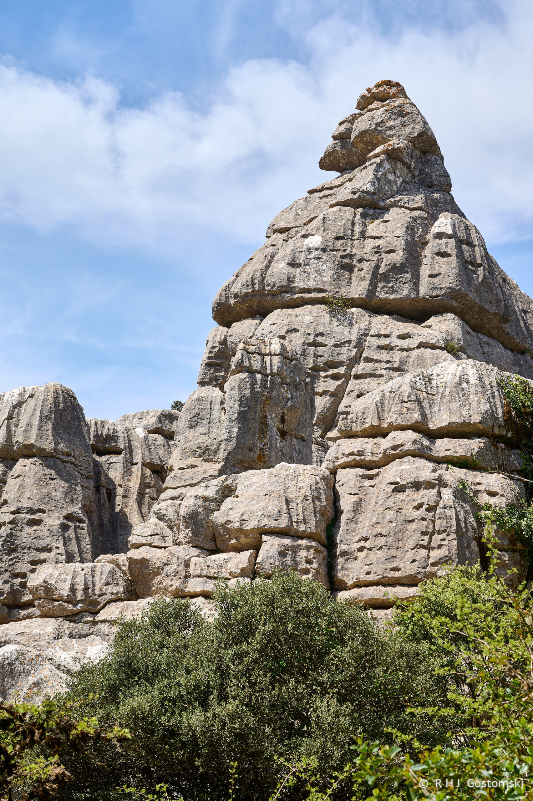
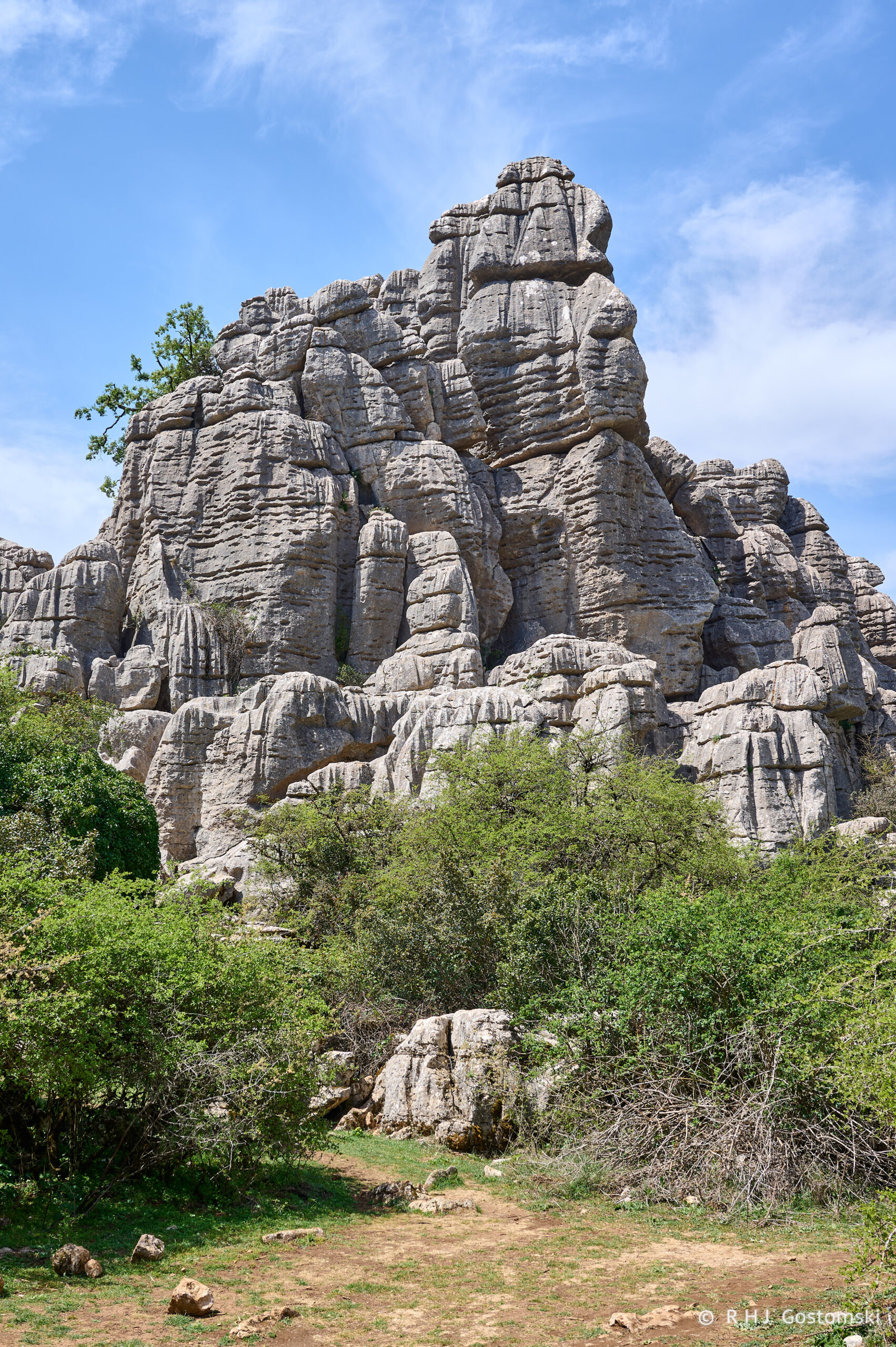
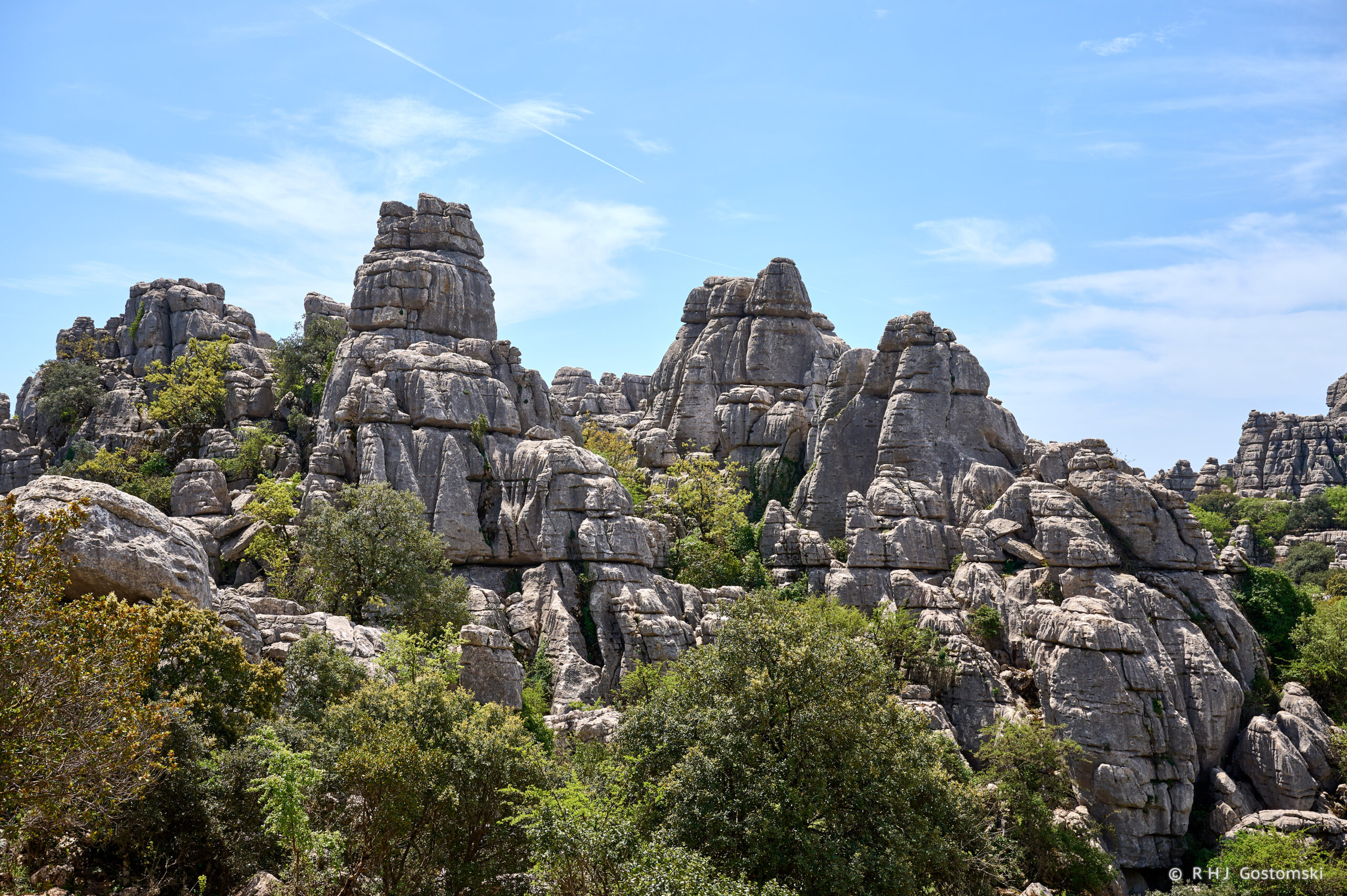
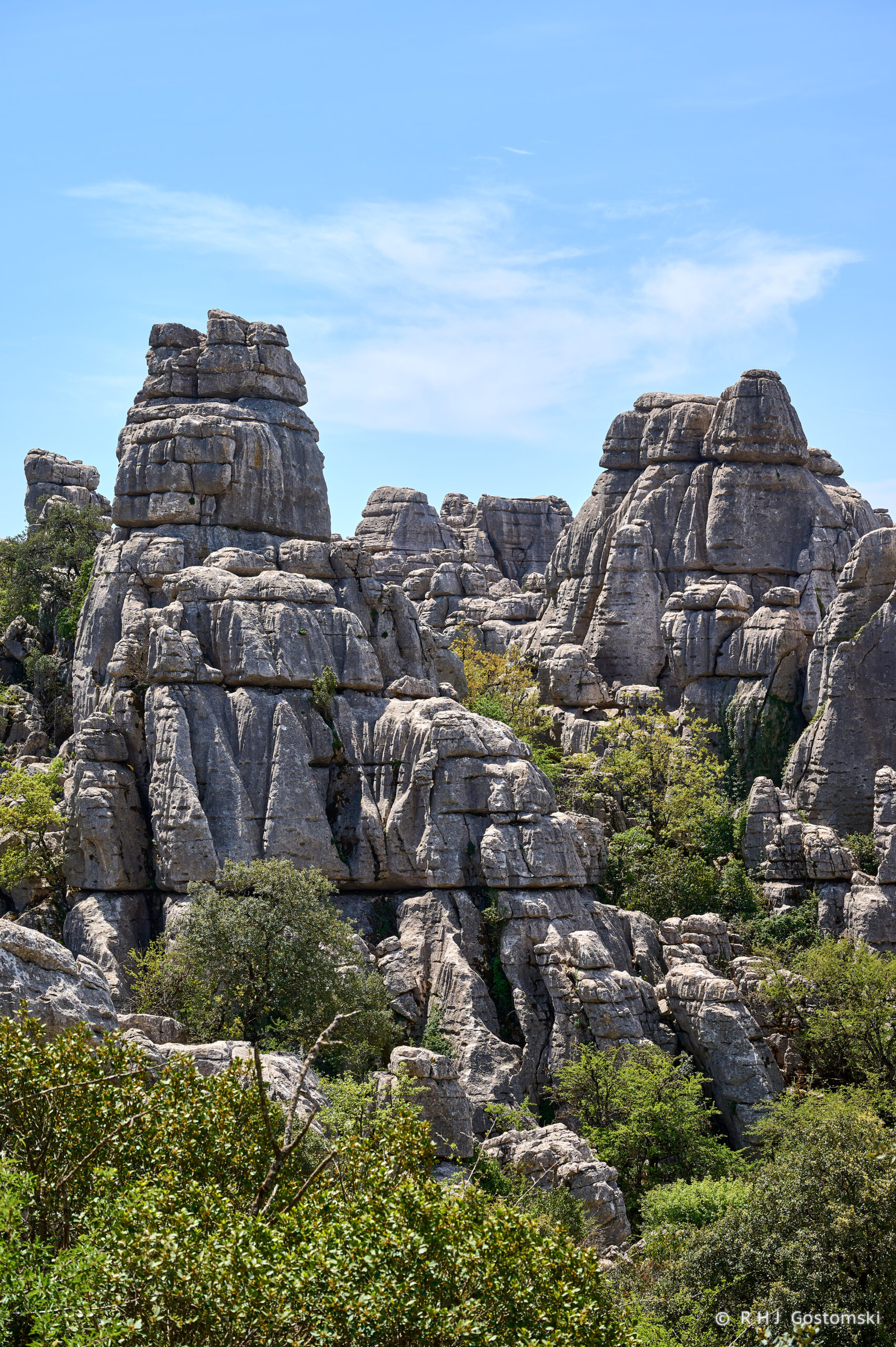
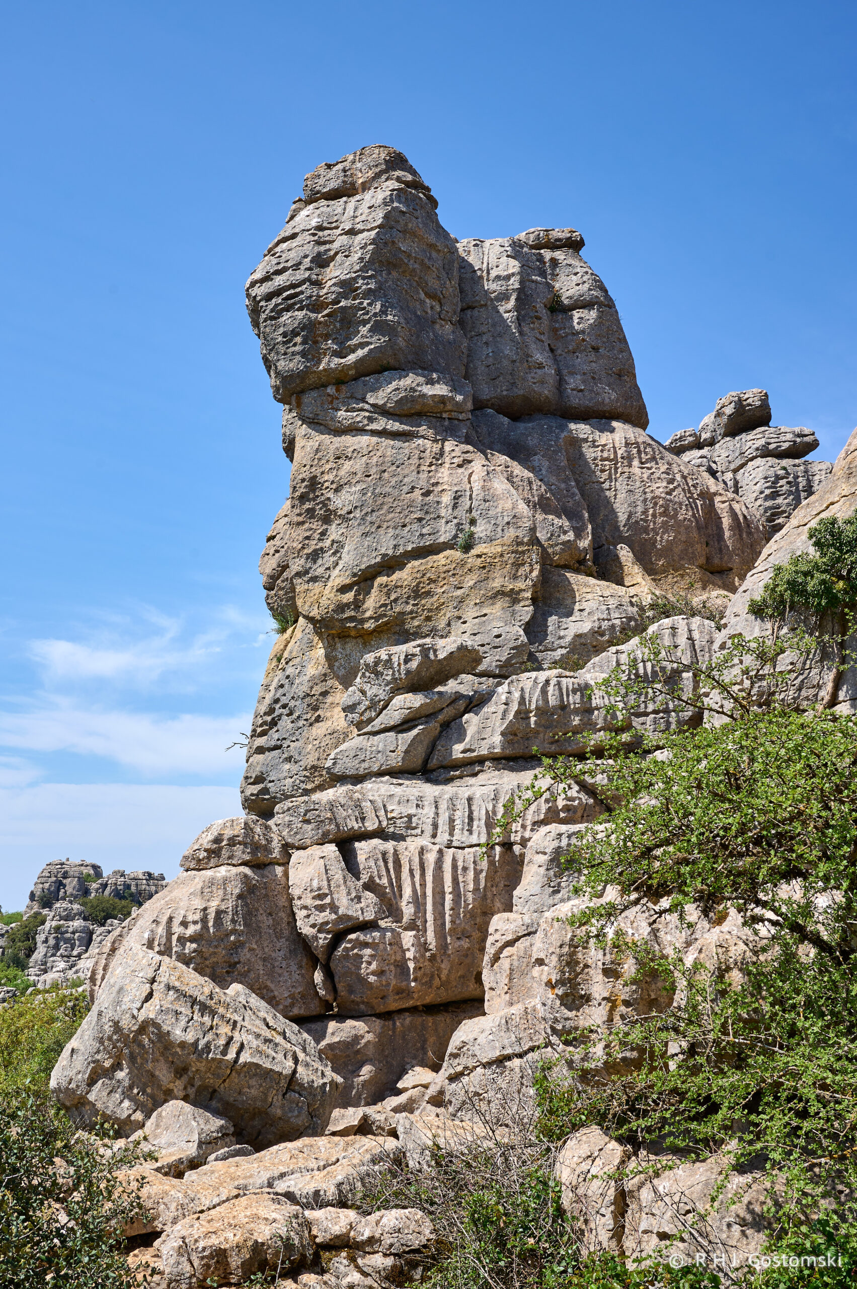
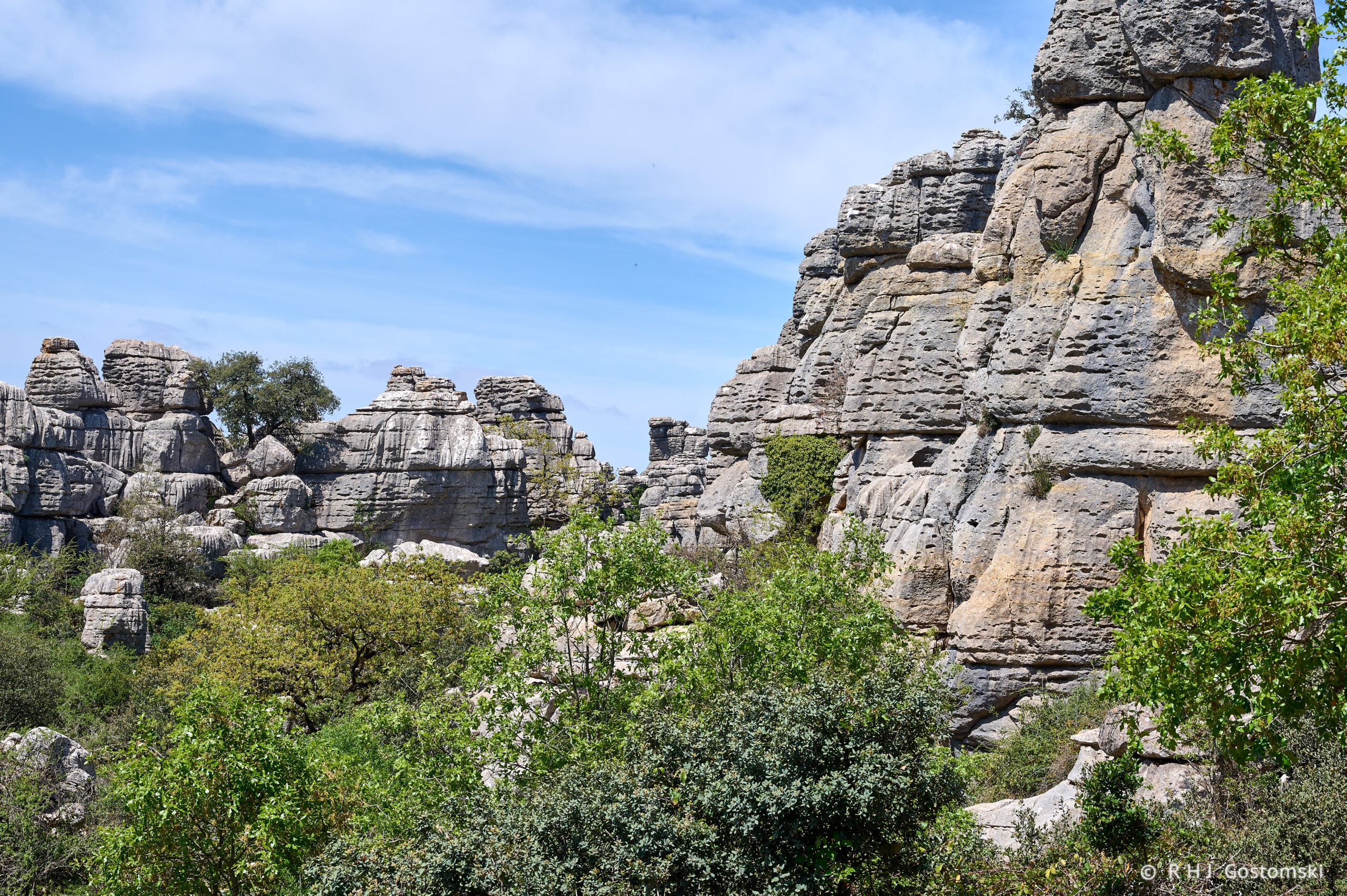
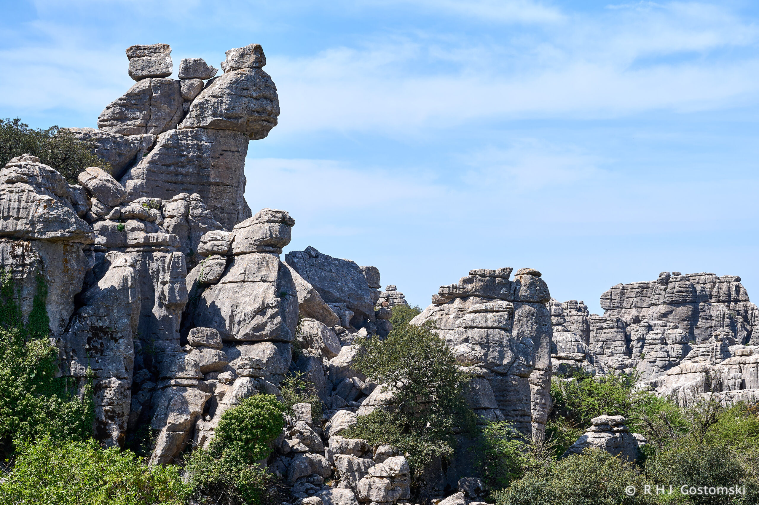
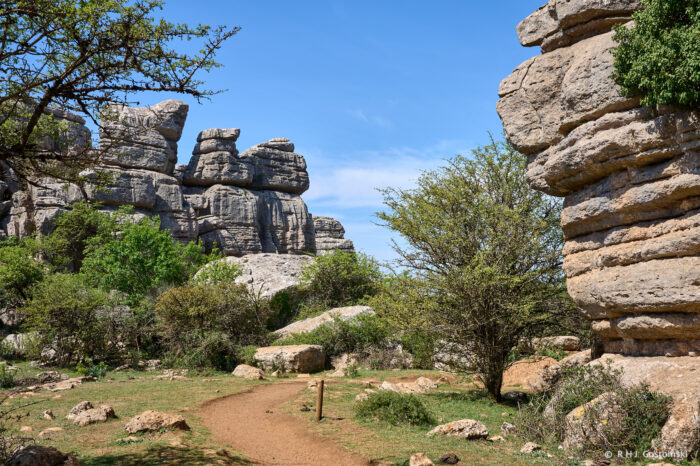
El Torcal de Antequera is a Natural Park spanning approximately 17 square kilometres, approximately 30 kilometres north of Malaga. It features one of Europe’s most stunning karst landscapes, composed predominantly of Jurassic limestone deposited roughly 150–200 million years ago under the ancient Tethys Sea. Uplift from tectonic folding, followed by erosion from wind, rain, ice, and freeze-thaw cycles, shaped the unique rock formations, narrow alleys, and dramatic reliefs seen today.


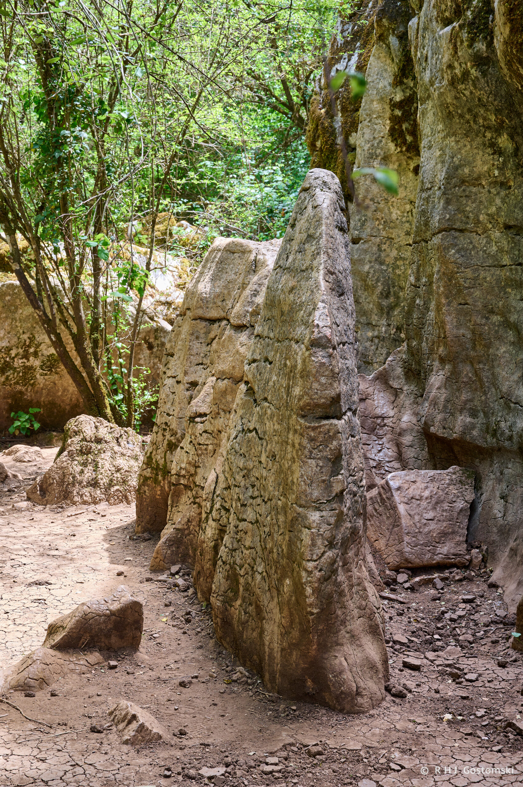
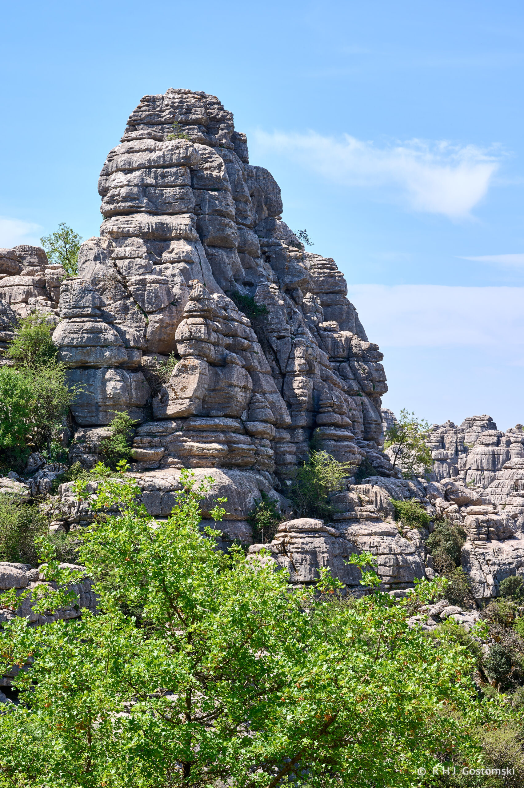
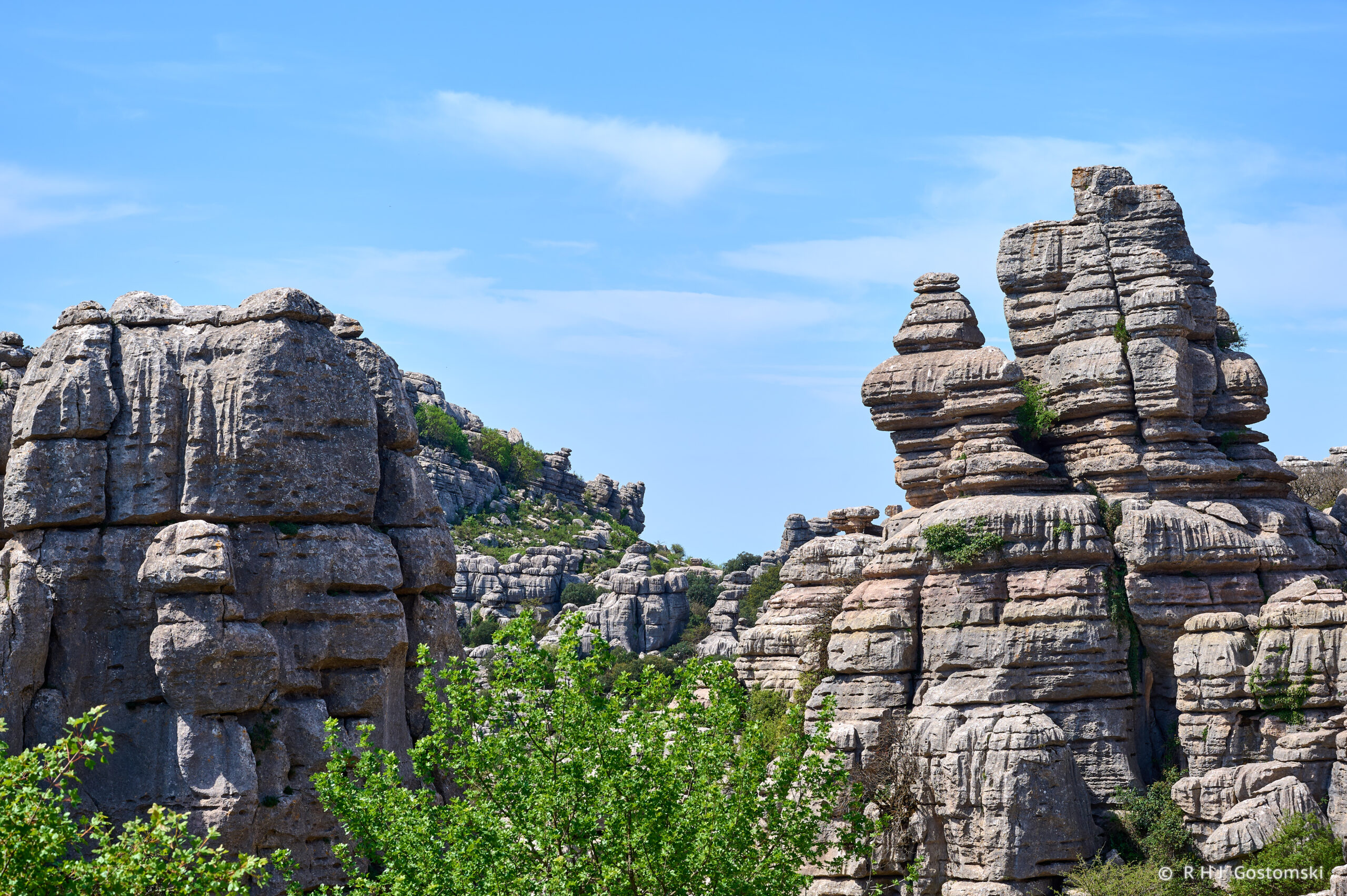
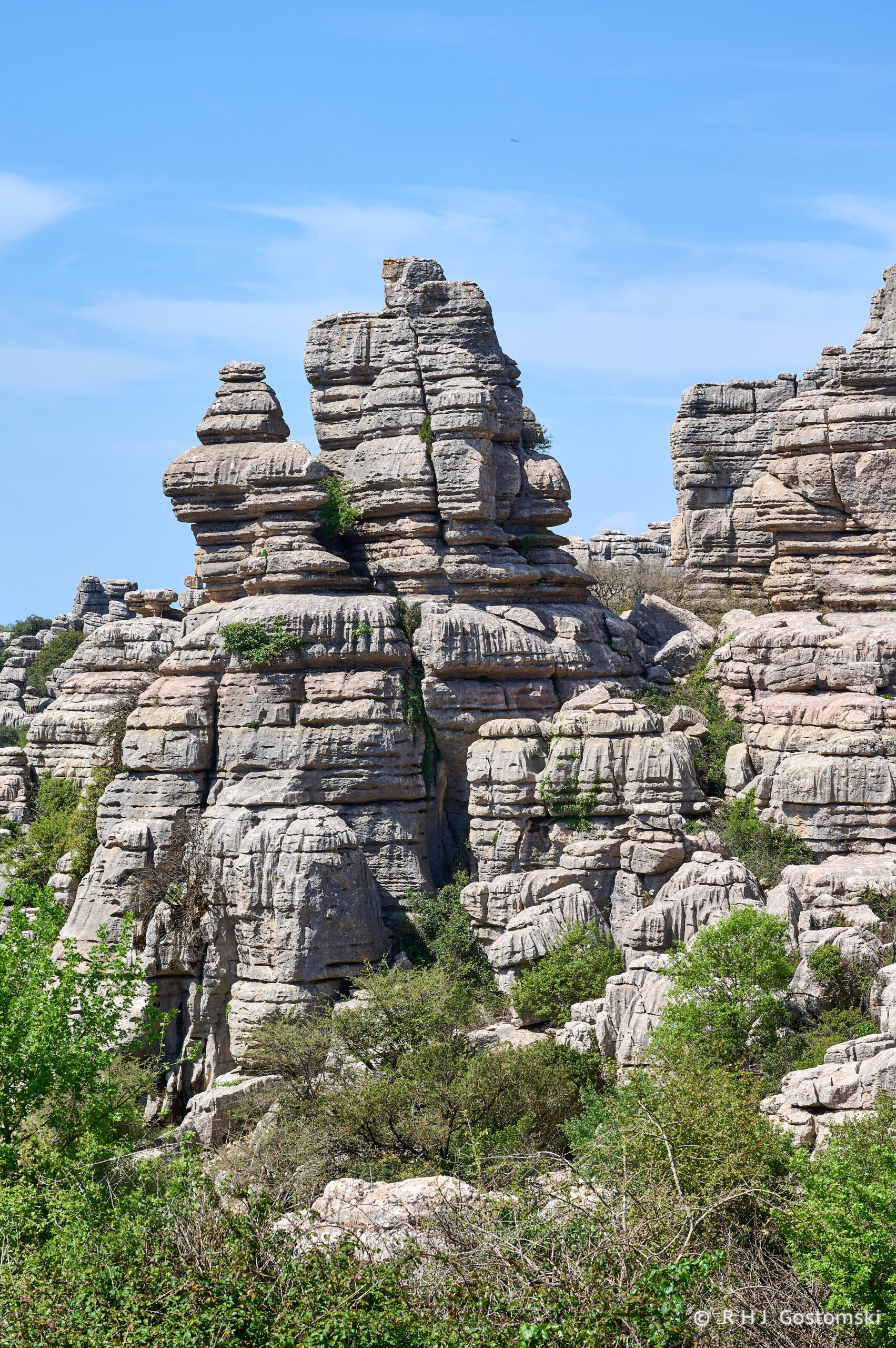
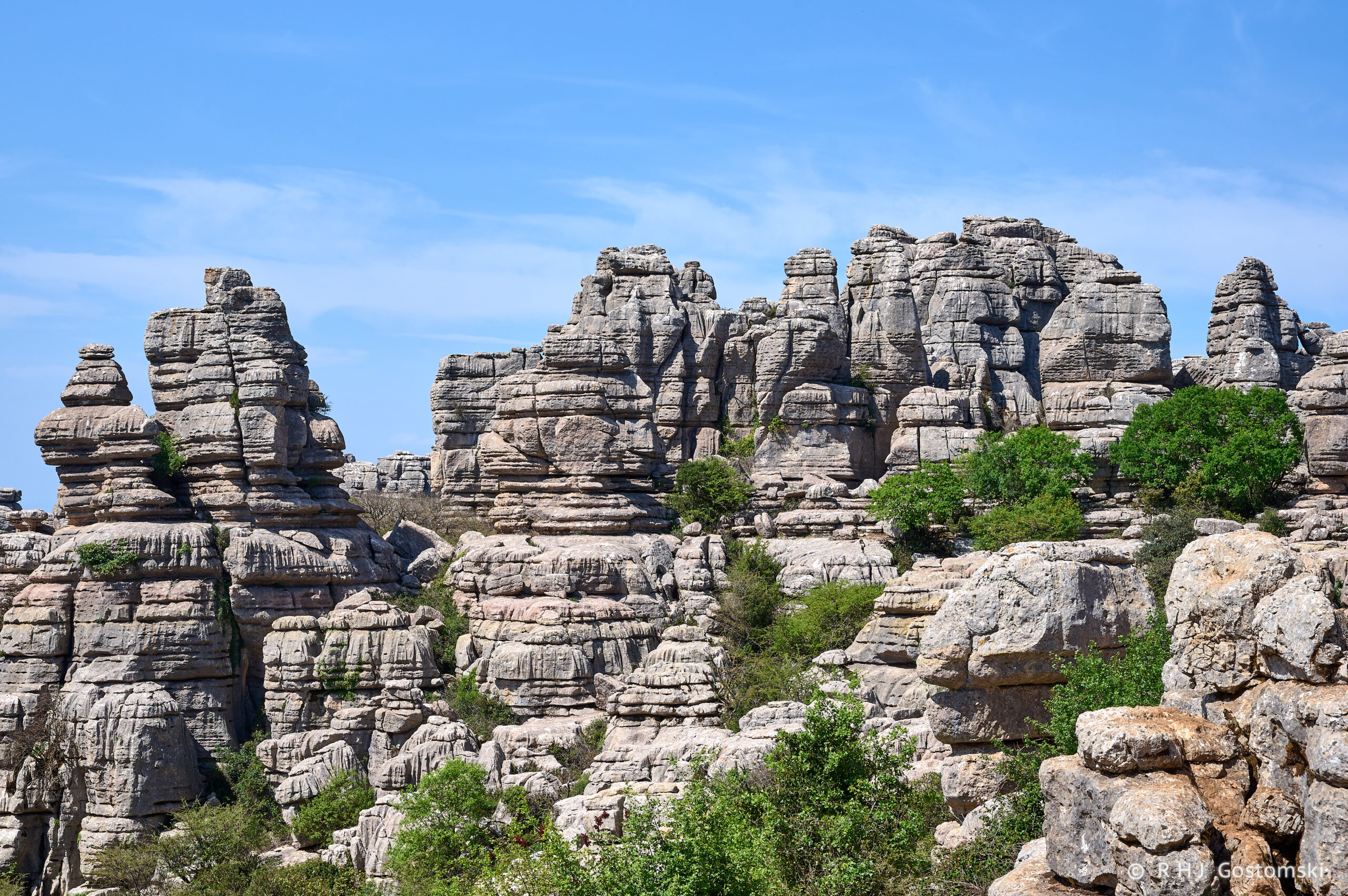
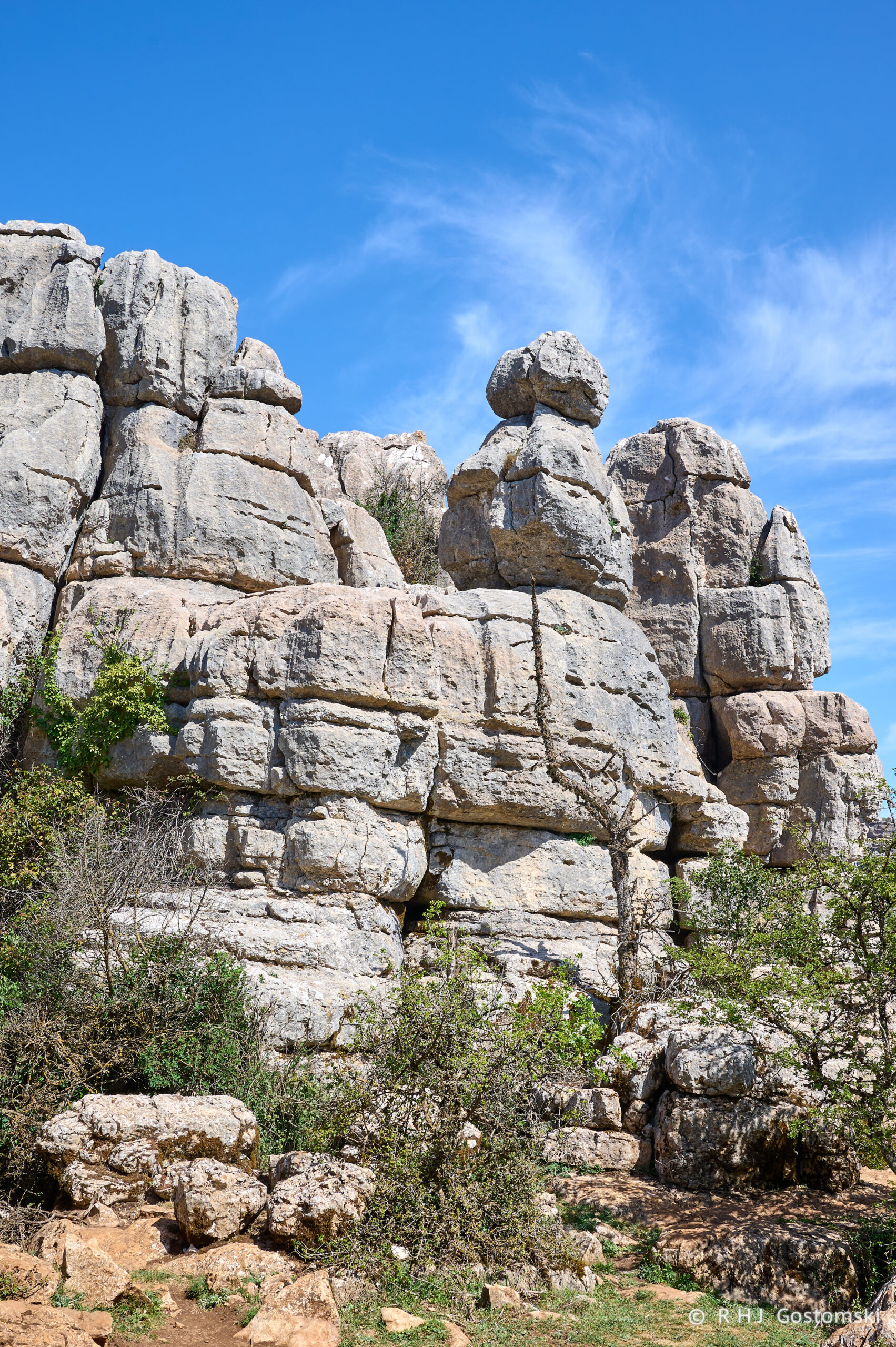
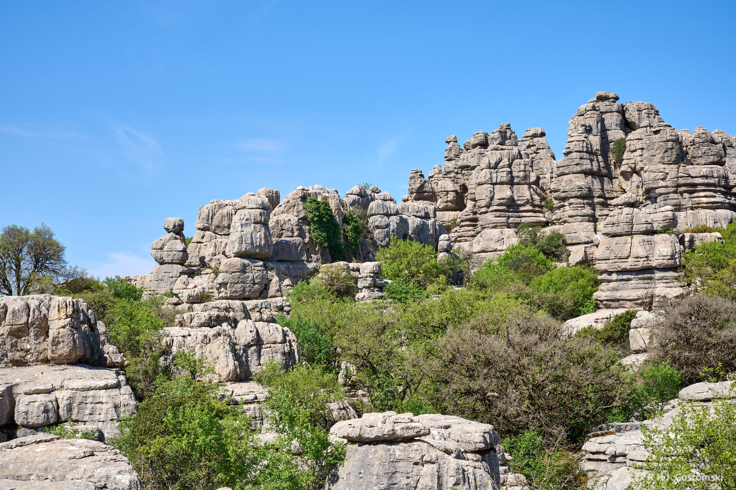
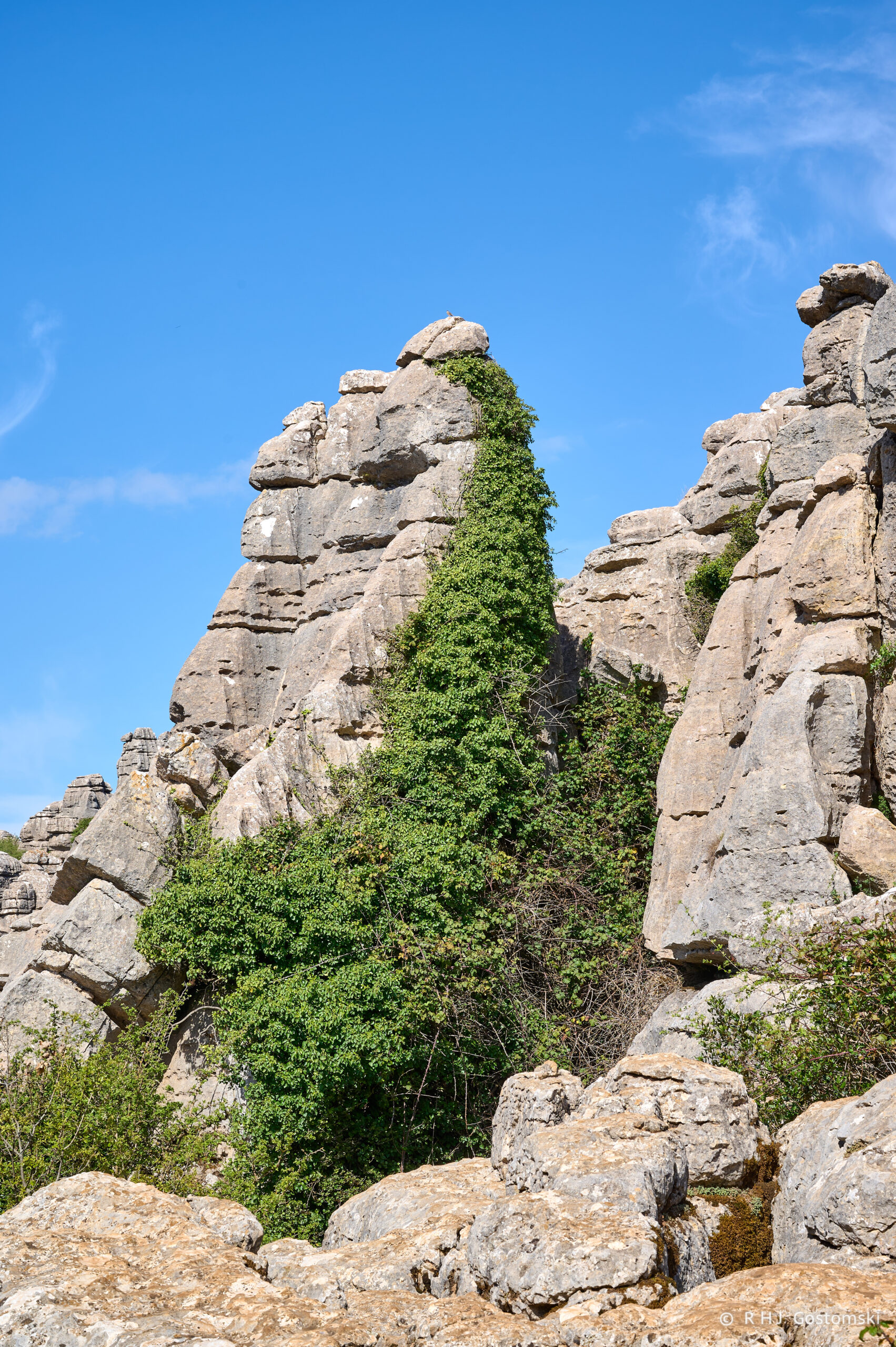
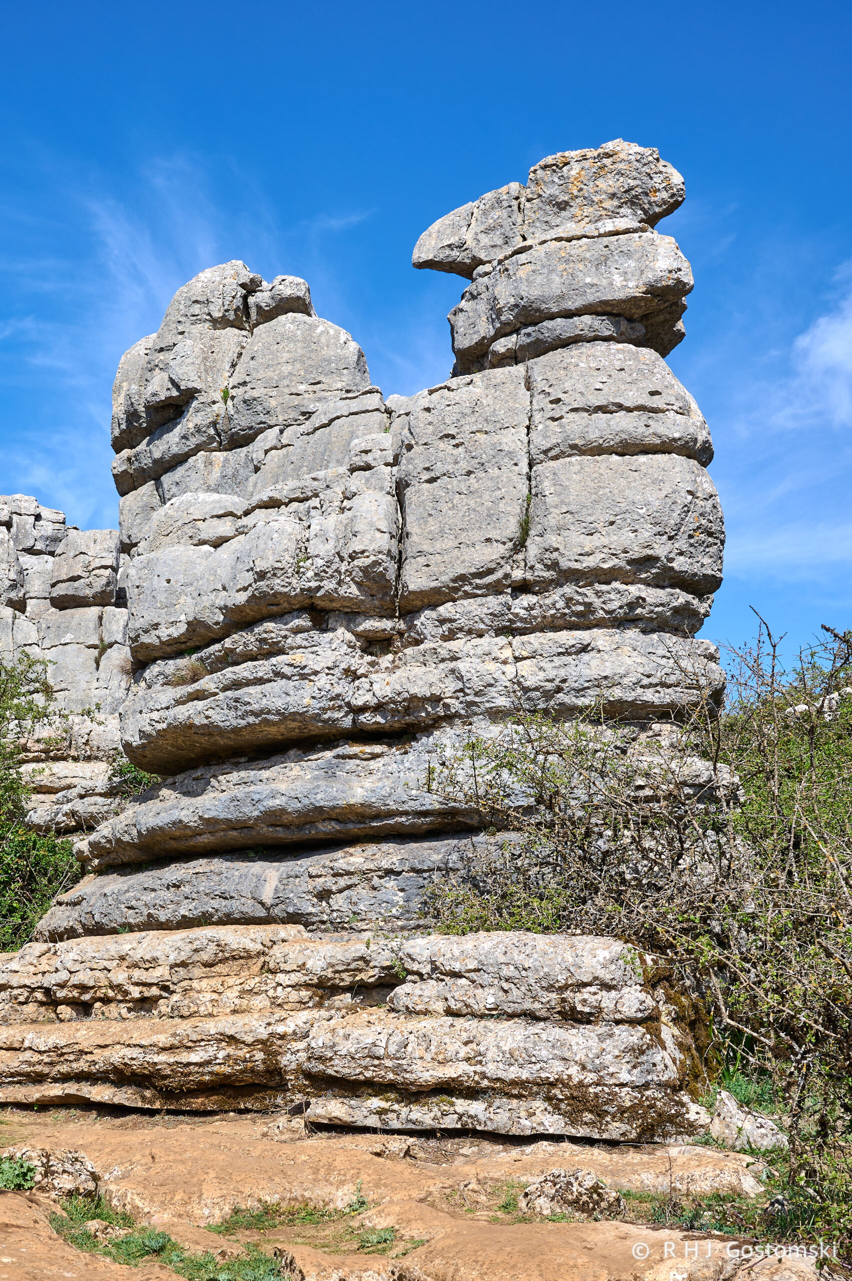
During my walk, I captured the following photographs, primarily along the yellow route. The images were taken using a Nikon Z6 during the midday hours.
Origins
The Karst landscape that characterizes the Natural Park of El Torcal dates back to the Jurassic period, approximately 250 and 150 million years ago. Limestone sediments accumulated at the bottom of the sea and were subsequently elevated over 1,000 meters above sea level by tectonic forces. Subsequently, a series of fractures and erosion, including freeze-thaw cycles and acidic CO2 in rainfall, shaped the current karst landscape. Some of the formations are characterized by simple shapes, such as the “screw,” “hat,” “cuddle,” “prisms,” “chalice,” and many others.
El Torcal Walking Routes
El Torcal is accessible by vehicle, with the Torcal Alto Visitor Center being the primary access point. The Natural Park offers several trails for public use:
- Orange Route – A 3.5 km route between the lower and upper car parks.
- Yellow Route: Commencing and concluding at the Visitor Center, this approximately 3 km route traverses the Torcal Alto, offering panoramic views.
- Green Route: A shorter version of the Yellow Route, approximately 1.5 km in length.
- Red Route: The longest and most challenging route, spanning 4.5 km. This route, which takes approximately three hours to complete, includes a viewing point at an elevation of 1,339 m, providing a panoramic view of El Torcal Park and the African Coastline.
Guided tours are also possible by arrangement from the visitor centre.